Geospatial Analysis(Mapping and analyzing location-based data for insights.)
By Allschoolabs
• Published on August 5, 2025
5 views
Category: Data Analysis
- Last updated: August 5, 2025
Geospatial Analysis: Mapping and Analyzing Location-Based Data for Insights
Introduction
Geospatial analysis is the process of gathering, displaying, and analyzing geographic or location-based data. It involves the use of Geographic Information Systems (GIS), satellite imagery, GPS data, and other spatial tools to understand patterns, relationships, and trends in various fields including urban planning, public health, agriculture, transportation, disaster response, and marketing.
Core Components
At its core, geospatial analysis combines multiple layers of spatial data (such as maps, demographic statistics, infrastructure layouts, and environmental features) to perform complex spatial queries and visualizations. This often involves:
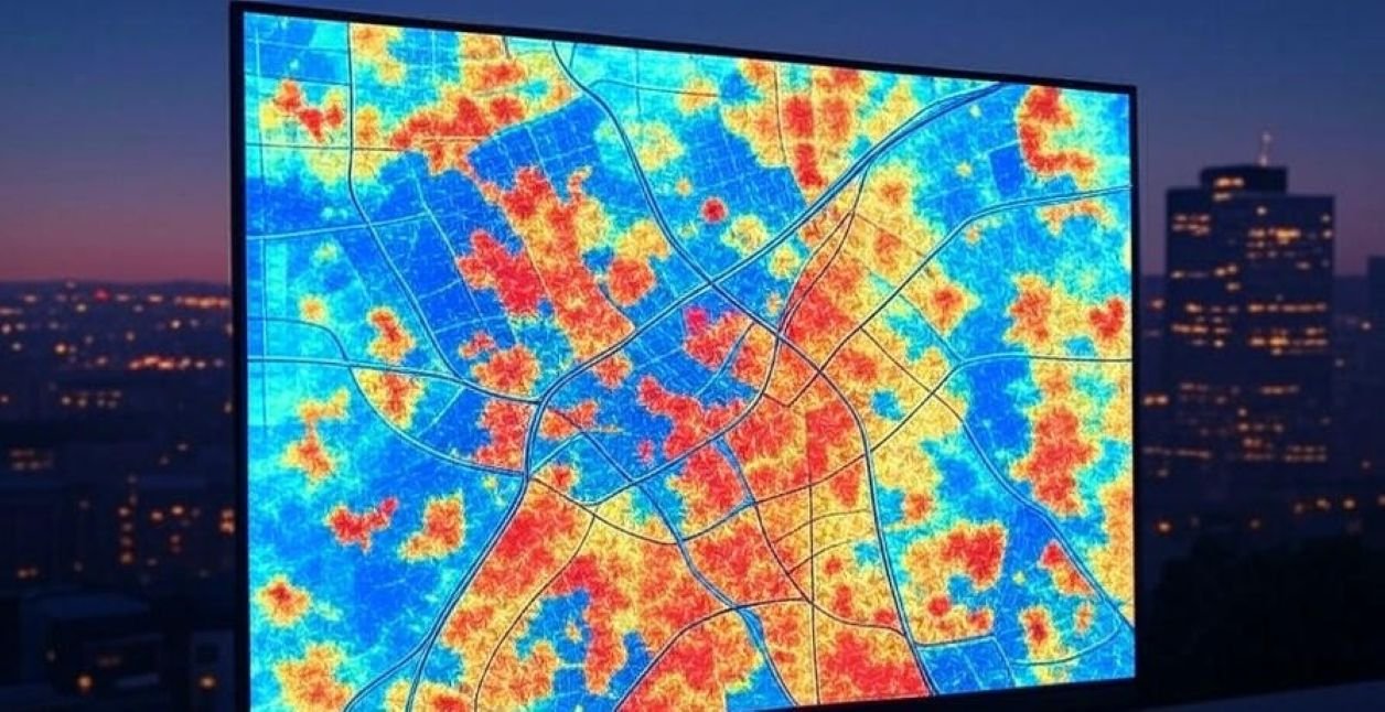
Mapping: Creating visual representations of data over geographic areas.
Spatial Statistics: Identifying patterns and anomalies in location-based datasets.
Network Analysis: Evaluating connectivity and accessibility across routes or regions.
Remote Sensing: Using satellite or aerial imagery to monitor environmental changes.
Geocoding and Interpolation: Transforming addresses into coordinates and estimating values between known data points.
Applications and Benefits
Urban Planning: City authorities use geospatial tools to map land use, plan infrastructure, and optimize traffic flow.
Public Health: Epidemiologists track disease outbreaks by mapping infection clusters and assessing healthcare accessibility.
Disaster Management: Real-time mapping of floods, fires, or earthquakes allows emergency services to respond effectively.
Agriculture: Precision farming uses GPS and satellite data to monitor crop health, soil conditions, and irrigation needs.
Business Intelligence: Retailers and service providers analyze customer locations and market trends to choose optimal store locations.
Environmental Monitoring: Conservationists use spatial analysis to track deforestation, pollution, and wildlife movement.
Tools and Technologies
Popular tools in geospatial analysis include:
GIS Software: Such as ArcGIS, QGIS, and GRASS GIS.
Programming Languages: Python (with libraries like GeoPandas and Folium) and R for spatial statistics.
Web Mapping: Platforms like Google Maps API, Mapbox, and Leaflet.js for interactive visualization.
Remote Sensing Tools: For processing satellite and drone data, including Google Earth Engine and ENVI.
Challenges
Data Accuracy: Inaccurate or outdated data can mislead analysis.
Privacy Concerns: Location data, especially personal or sensitive, must be handled with care.
Complexity: Analyzing and interpreting spatial data often requires specialized skills.
Conclusion
Geospatial analysis is a powerful discipline that unlocks critical insights from location-based data. By integrating data with maps and advanced spatial algorithms, organizations across various sectors can make informed decisions, improve resource allocation, and better understand the world around them.